Tennessee, 292.9 road miles
5 nights against 5.72 hours: reserve a 5 night Great Smoky Mountains trip from Cincinnati
Five nights under the Tennessee flank of the range, with 292.9 measured miles and 5.72 hours of road between Fountain Square and the first evening. From $1,075 per person, and each night carries 1.14 hours of that drive: step two of four, the road is a morning.
Nothing is held here until the office has written back and you have said yes to what it wrote. No part of a stay is ever paid for through these pages.
- Road from Fountain Square
- 292.9 miles
- Hours at the wheel
- 5.72
- Nights the office books
- 5
- Hours of road per night
- 1.14
- From
- $1,075 per person
Hours and miles are measured along the road from Fountain Square, not drawn straight on a map, and they assume clear traffic. Your own run will differ with weather, roadworks and the hour you leave.
Five nights against 5.72 hours
A traveler who decides to reserve a 5 night Great Smoky Mountains trip from Cincinnati is agreeing to 292.9 miles of road in each direction. The measured time at the wheel is 5.72 hours. That figure is printed above the price because it is the part of the week nobody can change: the mountains do not move north, and nothing arranged at the far end makes the drive shorter.
Divide 5.72 hours across the five nights reserved and each night carries 1.14 hours of driving. On the axis this site is sorted by, that is step two of four: the road is a morning. A car that pulls out after breakfast is under the ridge with the afternoon still to spend.
The length is what keeps the quotient small. The same 292.9 miles folded into two nights would read very differently, and the office would print that figure just as plainly.
One interstate, then the Cumberland climb
The route is a single interstate for almost all of its length. Out of Cincinnati it crosses the river, climbs through the northern Kentucky suburbs and then settles into horse country, where white fences run along the tops of the pastures and the barns are larger than the houses. Lexington goes by on the left. After it the ground begins to fold.
Berea is where the woods take over. South of London and Corbin the shoulders narrow, the grades lengthen and the trees come close to the pavement. The state line falls at Jellico, in the middle of a climb over the Cumberland Mountains, and that climb is the only stretch of the 292.9 miles that asks anything of a car. Trucks crawl in the right lane. There is a long descent on the far side.
Knoxville is the last city. After it the route turns toward Sevierville, and the blue wall that has been sitting on the horizon since the descent becomes a wall with trees on it. The final part of the drive is slow, because it is the part that stops being an interstate.
What stands in the mountains
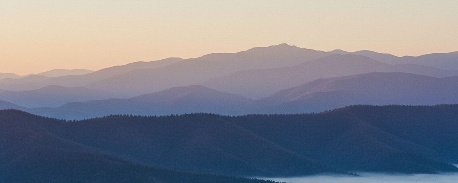
The Tennessee flank of the range is wet, dark and old. Fog collects in the hollows most mornings and burns off late; the range is named for it. In the sheltered coves the forest was never fully cut, and the difference is visible from the road: trunks too wide for two people to reach around, and a floor of moss and fallen wood rather than scrub.
One paved loop runs around an open valley of pasture and fence, with log houses, three churches and a working grist mill standing where the families left them. Deer feed in the grass at both ends of the day, and the loop moves slowly because everyone ahead is stopping. Higher up, the road over the gap climbs out of hardwood into spruce and fir. The temperature falls the whole way up, and the forest at the top belongs to a different latitude.
Water is the other constant. Rivers run over bare rock in sheets and ledges, and several valleys hold a waterfall within a short walk of the pavement. After two days of rain they are loud enough to hear from where the car is left.
How the five nights break up
Five nights is enough to slow down. The plan the office writes puts one valley or one road on each day, so the car stands still while the day is spent instead of moving between three places.
One day goes to the open valley loop, early, before the road fills. One goes to the high gap and the ridge above it, where the walking begins at the top rather than the bottom. One never leaves the water. One is left empty on purpose, which is something a fifth night pays for. The last is decided on the morning it arrives, out of the weather.
The towns at the foot of the range are bright and loud and full of things to buy. They are useful on the day the weather turns, and they are why the office asks where a traveler wants to sleep before it reserves a room anywhere.
The same morning, in reverse
The way home is the other 5.72 hours, and it is the half that gets forgotten when nights are counted. At step two it stays manageable: a car that leaves the mountains after breakfast is back in Cincinnati with the evening intact, and no day of the week is spent sitting.
That is why 1.14 hours is printed beside the price and not the total. The total is the same whatever the length; what changes is how much each night has to carry, and over five nights it is carried in small amounts.
Go Air Travels reserves the room, writes the route sheet and prints both figures. What happens between the two ends of the road stays the driver's own business.
What the figure holds
- Five nights reserved on the Tennessee side of the range, confirmed in writing before departure.
- A route sheet for the 292.9 miles from Fountain Square, with the two places the office suggests stopping and the exits they sit at.
- A plan for each of the five days, written so the car stands parked once it has arrived somewhere.
- A note of which high roads are open on the exact dates reserved, checked before the confirmation goes out.
- Written directions from the stay to each place in the plan, because signal is missing over much of the park.
What it leaves to you
- The drive. Fuel, and anything the car asks for on the way, is the driver's own cost.
- The parking tag the park requires for a vehicle left standing at its walks. It is bought from the park and not from this office.
- Meals. If the reserved stay serves anything in the morning, the confirmation says so.
- Guided walks, horse rides and anything else sold inside the park on the day.
The office adds no booking fee of its own. What you pay is what each supplier charges, and the written offer shows each line separately.
When this one is worth the road
The road is worth its 5.72 hours from late April, when the low woods flower and the water is still high, through the first week of June, when the evenings run long and the fog is gone by mid morning. July and August are warm and busy in the valleys, and the gap can sit inside cloud for days at a time. The middle of October turns the ridge over from the top down, and it is also the two weeks when every road in the park moves at a crawl, which is worth knowing before dates are set. From late December the high road across the gap shuts with snow, now and then for a week at a time, and the office checks that before it confirms a winter stay rather than after.
Does anyone split the 292.9 miles over two days?
Most people drive it in one go. At 5.72 hours it fits inside a morning and the early part of an afternoon, with two stops. Anyone who would rather break the run can say so in the request, and the office will write back with what that changes.
Why is 1.14 hours printed beside the price?
Because it is the honest unit for this entry. 5.72 hours of road divided across five nights is 1.14 hours carried by each night, which is step two of four here: the road is a morning. Two nights would carry the same road in much heavier amounts, and the office prints that where it applies.
What happens if the high road over the gap is shut?
The valleys stay open and the week still works. The plan moves the high day to the last morning and keeps a valley in reserve for it. Closures are checked against the dates reserved and written into the confirmation, so nobody learns about one at the foot of the climb.
Nothing in this list moves you. Getting from one place to the next is outside what this office reserves and it signs nothing with any carrier; you take your own car, and the office books what waits at the far end.
Start with the number of nights
Tell the office how many nights you have. Everything else follows from that number, including whether the drive is worth making at all.